The road to Omalo - complete guide to safely drive over the Abano Pass
Content
Key information at a glance
| Length of the drive: | 70km |
| Required time: | 3h 45min without breaks |
| Best time to travel: | June until October |
| For you if: | you love an adventure; you are a seasoned driver |
| Not for you if: | you suffer from vertigo or don't feel prepared to drive backwards on a tight mountain slope |
| Important Notes: | NEVER attempt to drive when there is fog, snow or heavy rain. It's not worth the risk |
| Country Overview: | Head here for a general overview over Georgia |
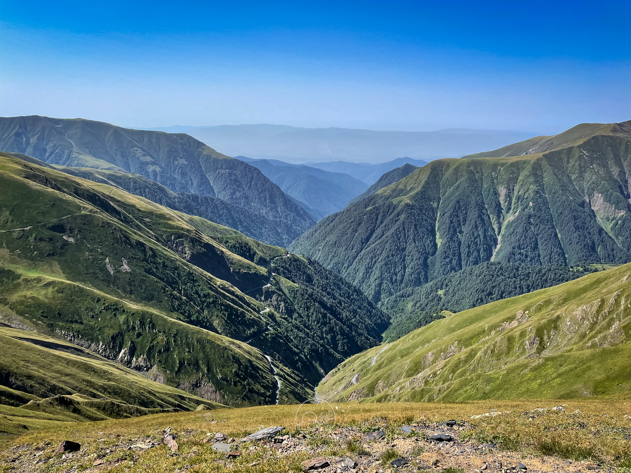
We were very intimidated by all the information we found online while planning the drive to Omalo via the Abano Pass. It is coined one of the most dangerous roads in the world, and even though we prepared very carefully, we were unsure of whether to attempt the drive until the day before. 70km of unpaved road, tight hairpin curves that take you up to 2800 meters and no guardrails while looking at almost vertical drops next to your tire seem to justify the roads' reputation.
However, in hindsight, we are convinced that if you properly prepare, you will get you safely to Omalo and back, and it will allow you to enjoy the marvelous villages and breathtaking nature of Tusheti.
This article is designed to help you to plan and successfully drive the road to Omalo via the Abano pass. At the end of the article I share a mental model that helps the driver navigate from one end to the other - you can also skip to it right away. Ready to hit the road? Then read on!
What to expect from the drive
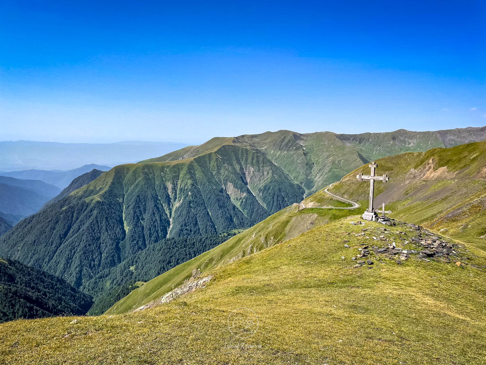
The official road to Omalo starts in the village of Pshaveli on 460 meters, leads over the Abano Pass on 2826 meters and ends in (Lower) Omalo on 1850 meters. The road does not actually end there, this is just the challenging part, described in the article. There is a lot more to explore by car, foot or horse in the region - be sure to read our article about hiking the ridge above Upper Omalo!
The distance from Pshaveli to Omalo is about 70 km, but will take you at least 3 - 4 hours, due to the demanding nature of this route. You can only drive the road between Mid April and October, since it is closed during winter: it becomes completely impassable during that time. In winter, the whole region of Tusheti can only be reached by helicopter.
Consequently, the exact time when the road opens and closes depends a lot on the timing of the snowfall, the weather and the condition of the paving once it surfaces again from under the snow. If you want to have optimal driving conditions, wait until late June to attempt the drive - in April and May, you might still encounter snow fields that make it difficult. It is also the time when shepherds make their journey up to the mountains, so it can get crowded on the road - make sure to have a look at the National Geographic article on the road and the sheperds, it's a beautiful read!
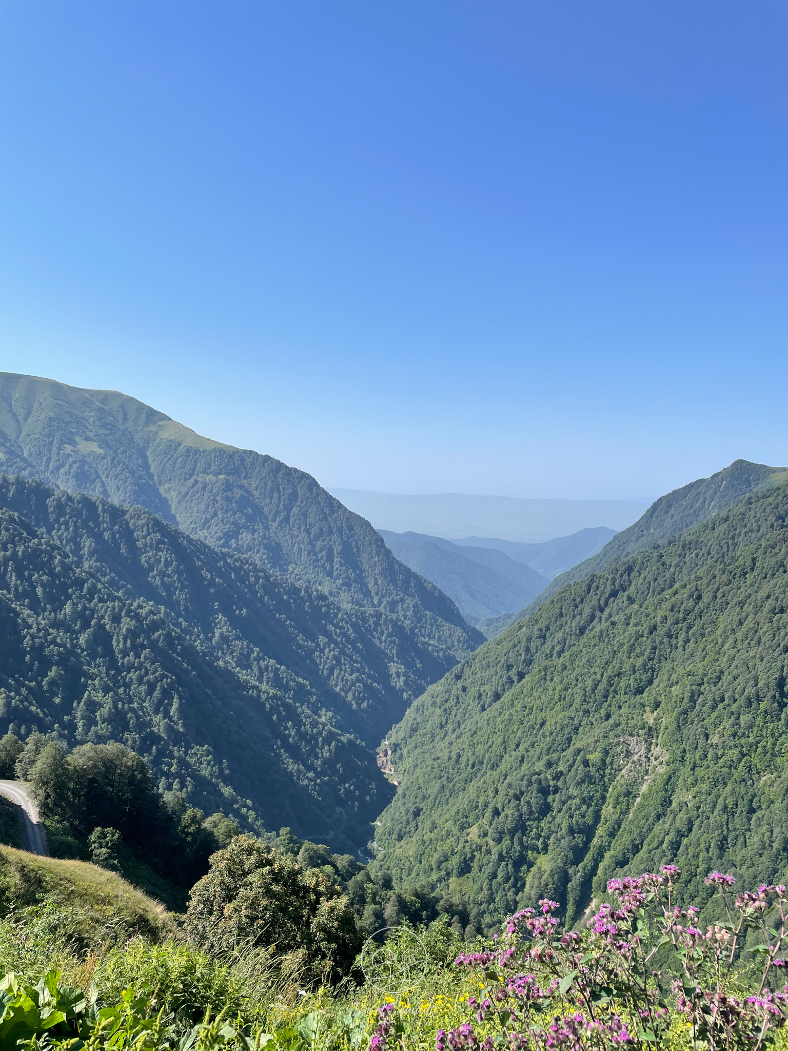
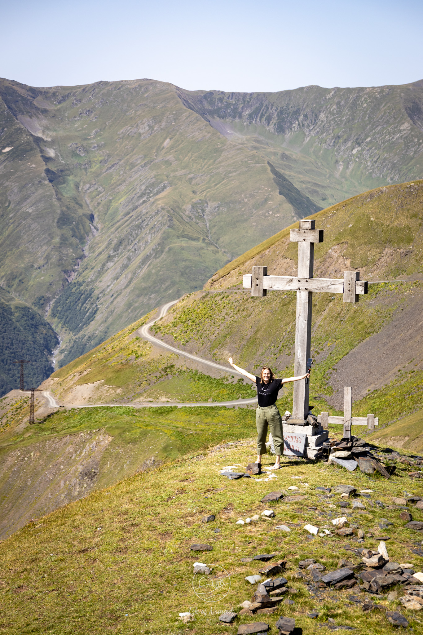
The highest point of the drive, the Abano Pass, is the highest drivable mountain pass of the Caucasus and makes for a spectacular view over the valley and the hairpin curves that wind up the hill like a snake. It also marks the point where the hardest part of the drive is over - the part that follows should not be taken lightly either, but it felt much less demanding to us.
The key sections of the road
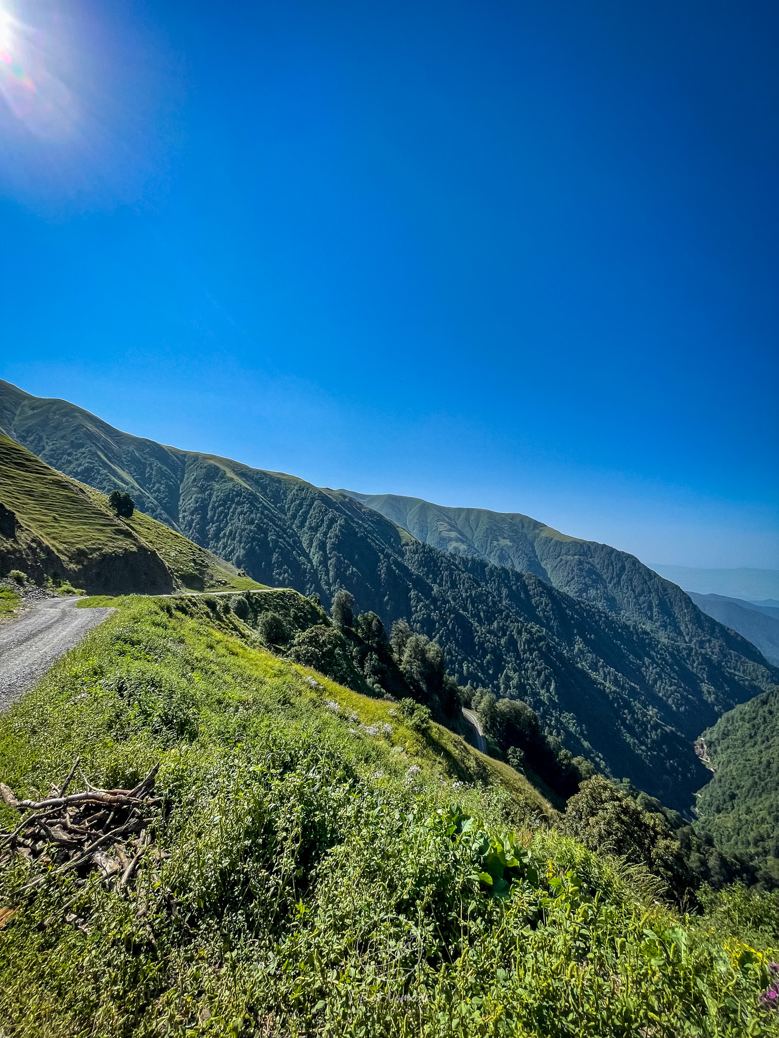
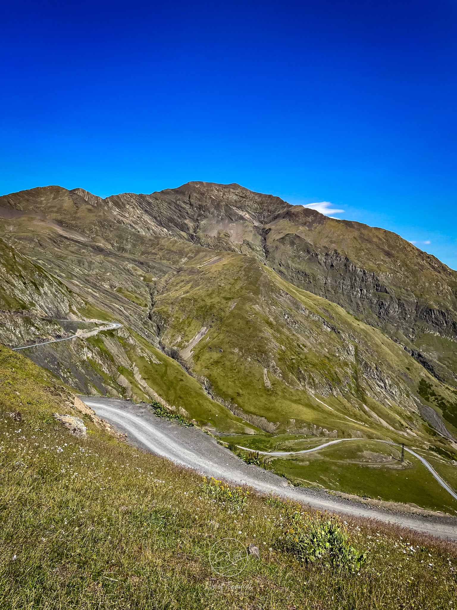
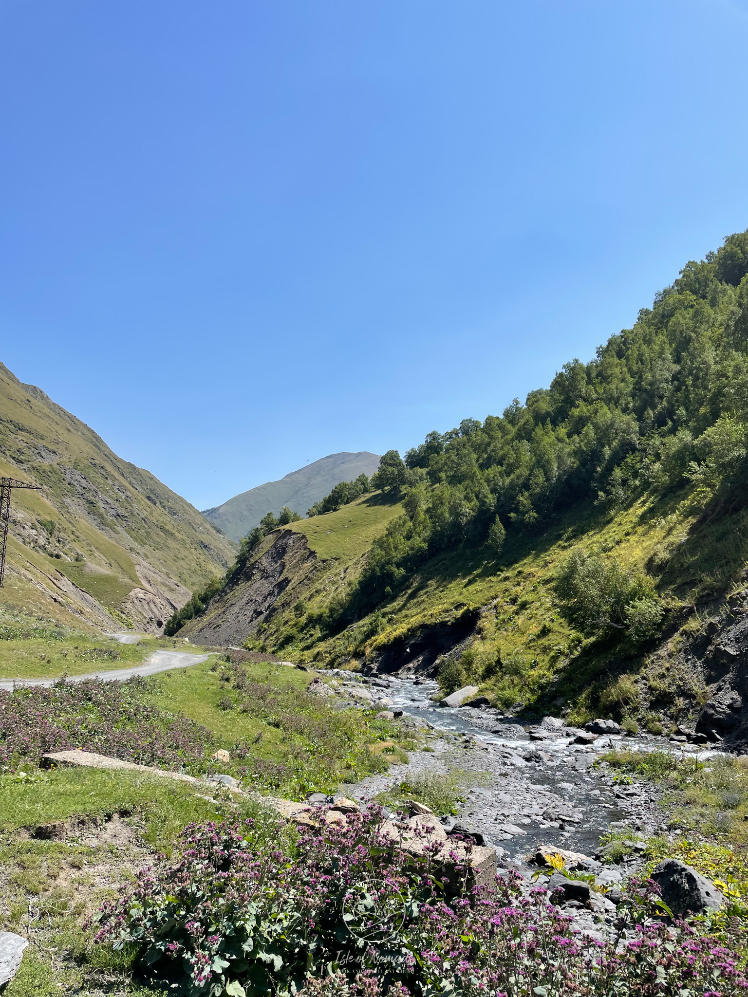
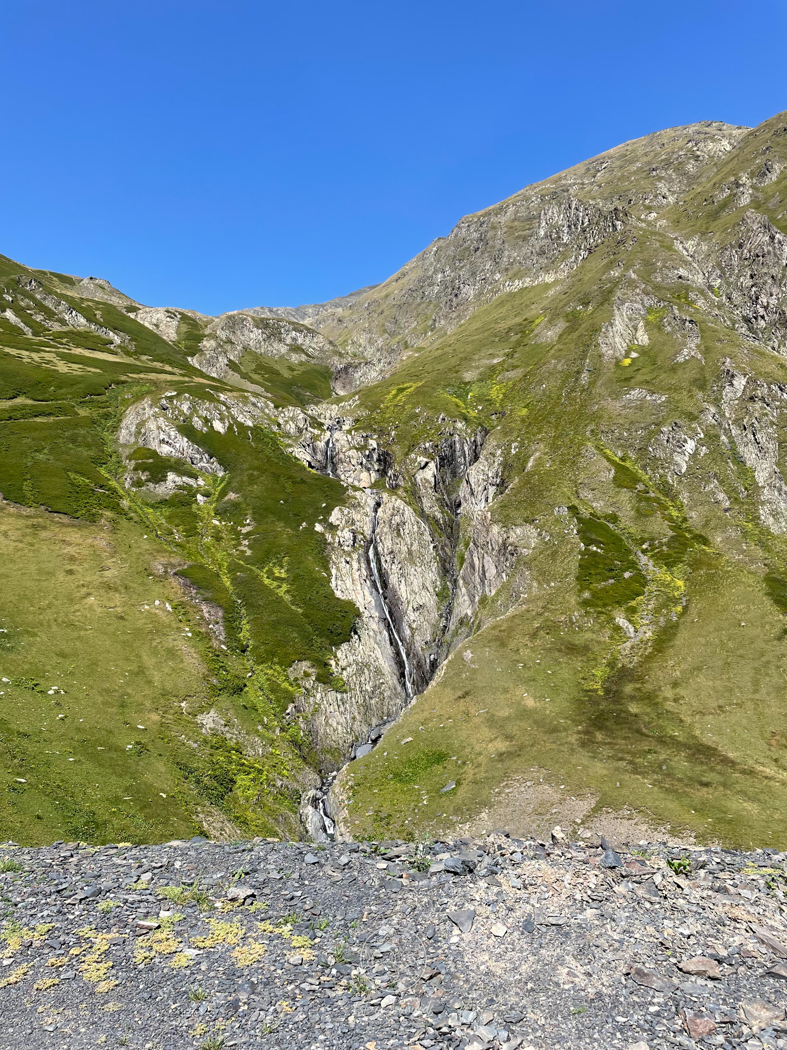
The first part of the drive slowly gains elevation until you reach the first 6 hairpin curves that get you from 1600 meters to 2100 meters. In the following section you pass several streams that run over the street until you turn into another 7 hairpins that get you from 2400 meters to the pass on 2800 meters. These two sections are the most demanding and require you to be alert at all times.
After a generous break on top of the mountain pass to enjoy the views and catch your breath, two sets of 8 hairpins each take you down from the pass to the Satskhvrekhorkhi river valley. While the abyss is definitely not as petrifying, the surface of the road is quite a bit more slippery due to all the gravel on that site of the pass. From there it is just a few more kilometers and another small ascent before finally reaching Omalo!
What you will need
A monster truck, a set of parachutes and a pathetic lack of fear. Just kidding, you will do just fine without that, but we believe the following is a must:
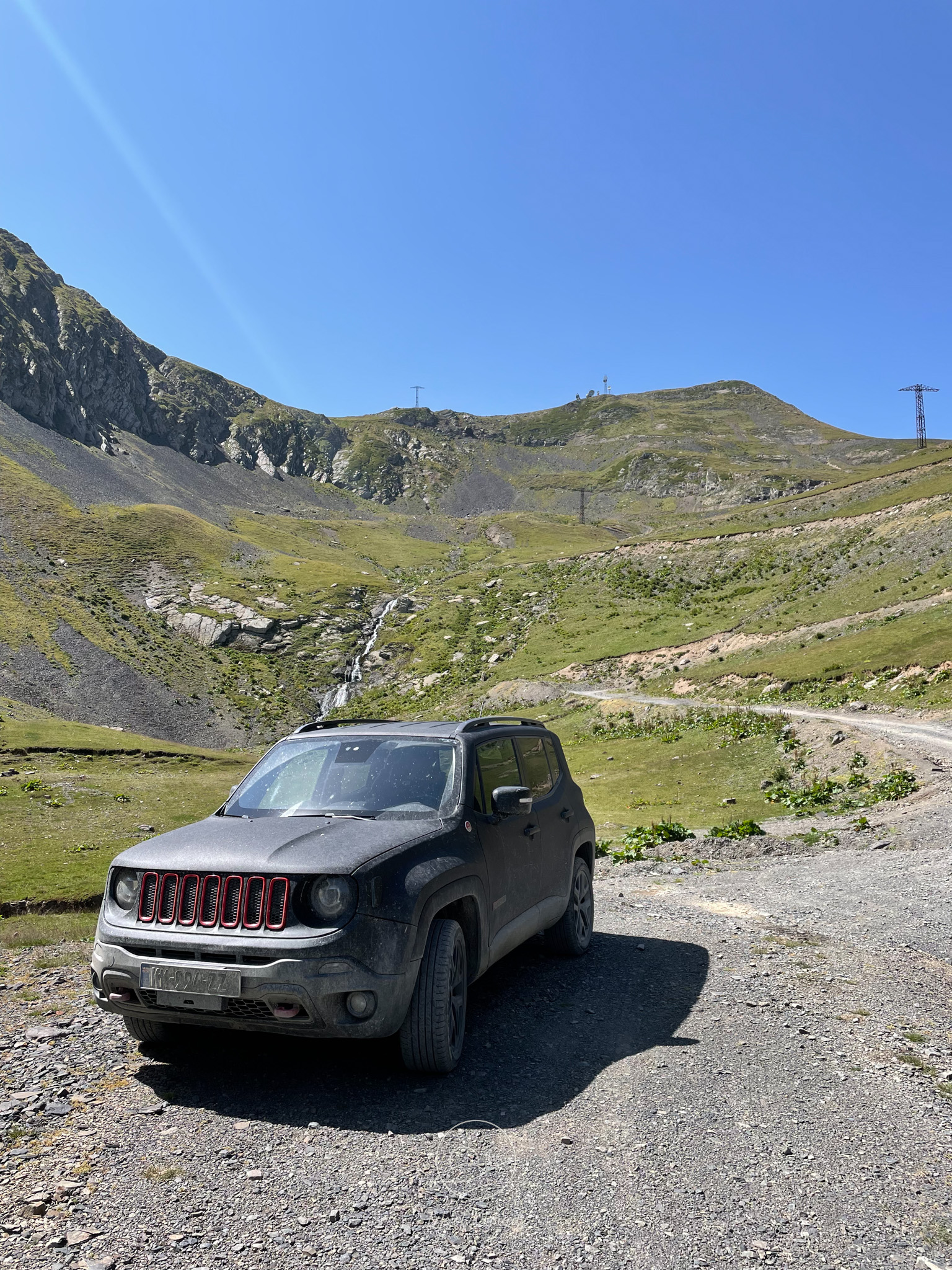
- A well maintained 4x4. Granted, you will encounter pretty much every kind of vehicle driving up there, but that certainly doesn’t mean that it is advisable or safe. While the road is passable without all-wheel-drive, it gives you much better control and confidence, so we would strongly suggest you to only go there when you have one. You’ll find that all the taxis that get you to Omalo are 4x4 vehicles as well.
- A fully topped up tank. Needless to say, there is no gas station in Omalo. That means you need enough petrol to get up there, possibly do a day trip to Dartlo and then get back down again. Bear in mind that Pshaveli doesn’t have a gas station either, the closest one will be in Atskuri. Whatever you do, just make sure to not leave Omalo with less than half a tank (although you will definitely need less petrol getting down than you needed to get up).
- A rested and experienced driver. This is just as important as the previous points! You need to stay concentrated for the full ride. There is, unfortunately, no space for making mistakes. What helped us a lot was to plan Omalo for the last days of our trip to Georgia, so that we had plenty of time to get acquainted with the car (and the unpaved Georgian roads 🙂).
One last thing regarding the challenges on the road: What are by far the most dangerous situations during the drive, is when there is oncoming traffic. The problem is that the road is already tight for just one car, let alone two of them. One way of handling this is to get very close to the edges of the road and slowly pass each other. DO NOT DO THIS, even if you feel like it should work space-wise. One day after we returned from Omalo, a fatal accident happened on the road because part of the ground broke off and the car standing on this ground fell - the car had squeezed to the edge of the road to let another vehicle pass.
You never know when and where the ground will let go right below your tire. Instead, there are few places along the road that have plenty of space to pass each other, which are meant for these maneuvers. Use them. Sometimes this means that you will have to wait in one of these sections, as you saw a vehicle coming towards you from afar. Sometimes, it means that you have to slowly drive backwards, but this is still saver than getting too close to the edge. The hairpins also have enough space to get out of the way, so that is an option, too.
How to prepare
Check the road conditions
Prior to driving the road, we made sure to inform us properly about the condition of the road and the weather forecast. First, we asked our host in Alvani, where we stayed the night before, about the condition of the road. She called a friend and reassured us that the road currently is in an excellent (for its standards) condition and that we shouldn’t expect any issues with respect to this matter. We also reached out to some folks on Instagram, who had been to Omalo recently to get some first hand experience.
Check the weather - both for the past and the forecast
The second thing you should definitely check is the weather. It had been and was forecast to remain very sunny for the day on which we planned to drive the road. While a few clouds or a short shower don’t necessarily cause any problems, long stretches of rain can cause landslides and will make the dirt road much more difficult to pass. Especially the steep passages that already pose quite a challenge, even for a good 4x4, won’t be any more fun to drive when they become slippery in addition.
Be mentally prepared for the drive
Regarding the time it takes to get up there, you will read anything between 4 and 6 hours. There was even one blog suggesting it will take you 10 hours, which is only possible if you walk, if you ask me. Google Maps calculated a 3-hour drive, which we did in 3.5 hours. That does not include breaks, which you should definitely take. We stopped at a very wide passage of the road, just before the final ascent to the pass, as well as on the Abano pass itself (at the very least you have to do this for the view), and after going down from the pass at a river to fill up our water bottles.
Still, during the 3.5 hours the driver (and the co-driver ideally as well) need to be fully concentrated on the road. It is easy to forget how demanding this is, when you compare it to driving on a highway with cruise control. The road is perfectly drivable when it is in good shape, but it doesn’t forgive even the smallest mistake. Make sure both you and your co-driver always look out for oncoming traffic, so you can wait in one of the wider sections of the road if need be.
Personally, it helped me tremendously to have a mental model of the road that helps me to know what to expect and to have a clear expectation of what is yet to come. I strongly recommend using one, you find mine at the end of the article.
Start early in the morning
We were sitting in the car before 9, which is recommendable for three reasons
- The weather in the mountains can change from one second to the next. But this is much more likely to happen in the afternoon than in the morning. You definitely don’t want to drive there when it is foggy or hailing.
- You are the freshest when you just got up. Use this!
- The cars taking off in Omalo and heading back down the mountain will start at some point as well. The Abano pass is not exactly in the middle of the drive, but the earlier you start the less likely it is that you will meet oncoming traffic on the hardest parts before the pass.
Alternatives to get to Omalo
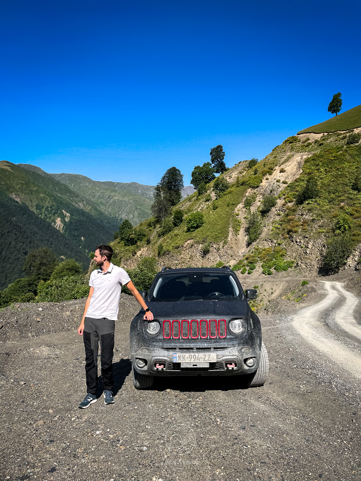
As we were exploring Georgia with an amazing Jeep Renegade that we rented, this was the obvious choice to get to Omalo. There are, of course, some alternatives to get there:
- Take a Taxi. You can expect to pay around 30€ for a car or 15€ for a seat. Do make sure that you are boarding a suitable vehicle (proper clearance, preferably 4x4). The drivers know the road very well and are a good option to get there.
- Take a bicycle. Granted, this is a whole different tour entirely. While driving the road, we saw some people biking up there, but I assume you need to prepare much more than for driving with a car. We can’t really comment on that 🤷♀️
- Hike to Omalo. Long before there was a road (it was built in the late 70s), shepherds already walked their herds up in spring and down in late summer. While this is doubtlessly the longest option, it sure is the safest and most beautiful one.
A word on the previous fatalities on the road
If you are planning to follow our advice and do your research before driving, you will inevitably encounter news coverage on fatalities that occurred on this road. These tragic accidents happened due to various reasons that you cannot fully prevent, no matter how careful you are. Please keep in mind that this is a mountain pass that you are about to drive, without any guard railing, unexpected landslides, and, due to the nature of mountainous regions, unexpected and swift weather changes. This is not a walk in the park and we highly recommend you to treat it with the according respect.
While driving there we saw several engineers measuring different parts of the road. We know that there have been some debates about whether the road to Omalo should be properly secured and maybe by the time you arrive there, measures have been taken to improve it.
Enjoy the beautiful Tusheti region!
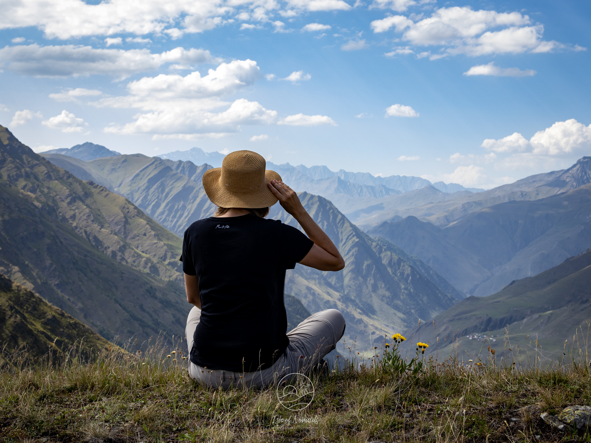
If you are lucky enough to have perfect weather like we did, you will see a stunning landscape unfolding right next to the road. While it doesn’t exactly make the road more secure, the lack of any guard railing also means that all your views are completely unobstructed. This, unfortunately, can and should only be enjoyed by the co-driver ;)
But as you hopefully can tell from the footage, Laura did a great job capturing the beauty of the road to Omalo.
A mental model to be prepared and have clear expectations while driving
As mentioned above, having a clear understanding of the different parts of the drive will make it much more manageable.
What helped us a lot for that was to go through the route on Google Maps, using the topology layer. This is the mental modal that I built and used for it:
- After leaving Pshaveli, the road goes almost straight along the Stoli river until Lechuri
- After the village you slowly gain elevation with just a few curves, still following the river
- Once you take the first sharp right leaving the river to your left, you are in the first 6 hairpins - the first really challenging part
- After having climbed them, you again gain elevation only very slowly crossing two streams that run over the road
- Taking a sharp right you enter the 7 hairpins that take you up to the Abano pass where you should take a large break and enjoy the view - this is the second really challenging part
- Right after the pass, 8 hairpins over slippery debris take you down to the Satskhvrekhorkhi river valley (I did not memorize the name of the river 😂)
- After a few hundred meters another 8 hairpins take you further down
- Following the valley you cross several rivers and pass a few villages until you take the last 4 hairpins up
- Climbing this last hill you see the beautifully wooden made Hotel Tusheti to the right
- After a few hundred meters you finally made it to Omalo
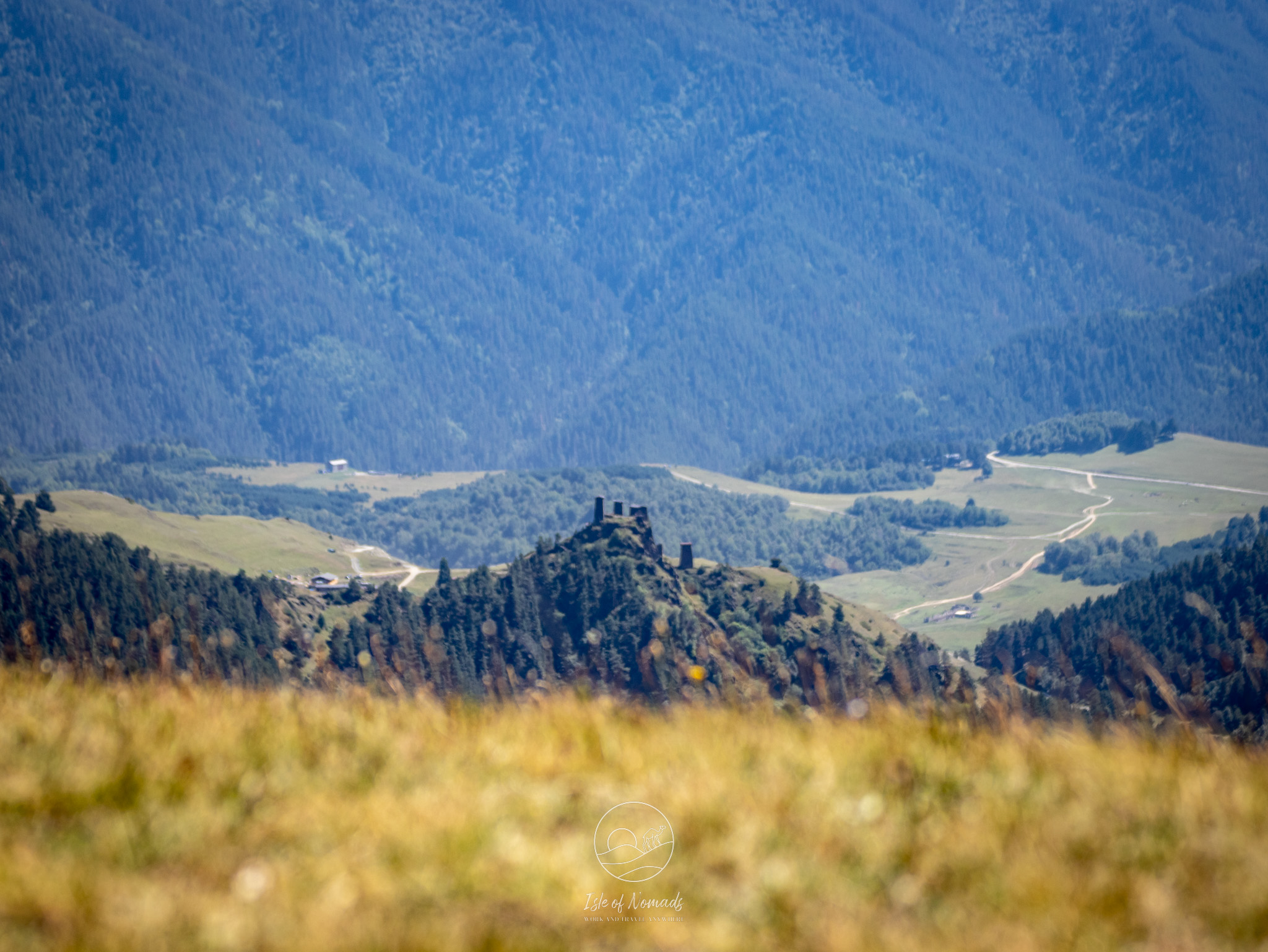
- Imagine yourself sitting on the porch with a beer, while enjoying the slow life in the remote village with a beautiful view on the fortress 🍺
We hope this article helped you to prepare for the drive to Omalo - do not hesitate to reach out if you have any more questions, we'll be happy to help. Especially Laura debated whether to do the drive up until the day before attempting it and barely slept the night befors, but we are so glad we did drive to Tusheti. It is a magical region of Georgia and in hindsight we think we were way too nervous about the road. It is challenging and needs some preparation, but it is really doable if you are careful and take all the measures laid out in this article.


